
 News
News Published Walks
- Current Events
 Event History
- About us
- Path work
- Links & Supporters
- Contact
- Documents
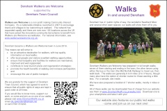
Walks
Here are all of our published walks, including our original individual walks (between 3 and 9 miles), our short walks booklet (2-4½ miles) and some more local ‘extras’:
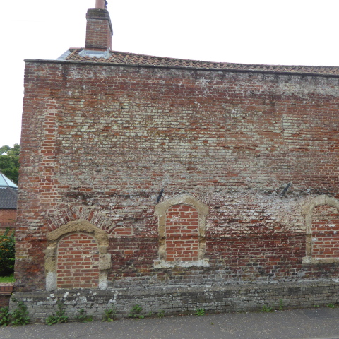
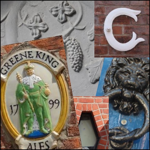
Some Key Buildings of Dereham
(September 2025) PDF, opens in new tab.
This booklet guides you on a 1¾ mile route around the centre of Dereham to explore some key buildings associated with the Town's rich history. Produced with the help of Dereham Heritage Trust as part of the 2025 Heritage Open Days event.
Observation Quiz - Town Centre
A short walk through Dereham town centre with 30 interesting things to find. Follow the route (the red line on the map) and see if you can find all of them.
Printed versions of the quiz are available in various places including the library
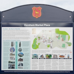
Town Information Panels Walk
Produced in collaboration with Dereham Heritage Trust and aboutDereham this leaflet will guide you to see every information panel, each with fascinating information about Dereham's past and preset. The leaflet is printed and made available in various places such as The Library - look out for your FREE copy.
Seven Short Walks
.png) Thanks to the Co-Op Local Community Fund and a grant from Dereham Town
Council this booklet has been updated and is available in various places such
as The Library - look out for your FREE copy.
Thanks to the Co-Op Local Community Fund and a grant from Dereham Town
Council this booklet has been updated and is available in various places such
as The Library - look out for your FREE copy.
A collection of seven short walks in a booklet. Walks are between 2 and 4½ miles, but all can be shortened to a maximum of 3¼ miles. Maybe try downloading to your phone.
The centre pages include a map (single file PDF, opens in new tab).

Originally four walks were produced for Dereham Town Council. Following the formation of Dereham Walkers are Welcome additional walks were developed and the original walks reworked.
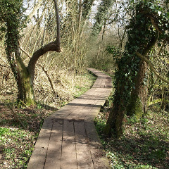
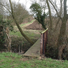
Now we have have guides for 14 individual walks available for download, all centred around Dereham; some involve a bus or train trip to the start of the walk.
Background information (standard walks)
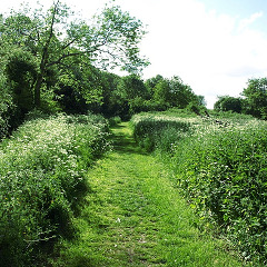
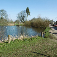
Potters Fen and Water Meadows
Walk 1 (Nov-2023) PDF, opens in new tab.
A short walk through the town utilising Dereham's green corridors which run both north-south and east-west.
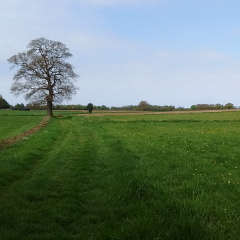
Badley Moor
Can be shortened to 5 miles (2 hours).
Walk 2 (Nov-2023) PDF, opens in new tab.
This walk heads south to Toftwood, then east to Dumpling Green and out along an ancient track past Badley Moor Common.
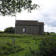
The Windmill and The Neatherd
Can be shortened to 5½ or 7 miles (2¼ or 3 hours).
Walk 3 (Nov-2023) PDF, opens in new tab.
This walk passes many interesting buildings, including The Windmill, Lecture Room, Tollgate Cottages and Gooch's Cottages. The route is generally to the north-east of the town although it does dip south of the A47 for a mile or so.
Rush Meadow and Quebec Wood
Can be shortened to 3, 5 or 6¼ miles (1¼, 2 or 2½ hours).
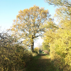
Walk 4 (Nov-2023) PDF, opens in new tab.
The walk goes through Rush Meadow as part of a circumnavigation of the northern half of the Town, enjoy some of Norfolk's 'big sky'.
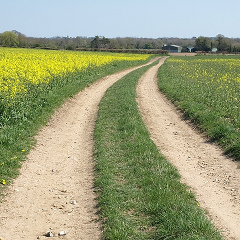
Scarning and Podmore
Can be shortened to 3¾ or 4¼ miles (1½, 1¾ hours).
Walk 5 (Nov-2023) PDF, opens in new tab.
This walk explores quiet old lanes out to Scarning, west of Dereham.
Yaxham
Can be shortened to 5½ miles (2¼ hours).
Walk 6 (Aug-2025) PDF, opens in new tab.
This walk starts at the corner of Charles Wood Road by the railway. Bus access details are given in the guide.
The walk goes out through Yaxham, returning past Badley Moor Common.
Gressenhall
Can be shortened to 3¼, 4½, 6¾ or 7 (1½, 2, 2¾ or 3 hours).
Walk 7 (Nov-2023) PDF, opens in new tab.
This walk starts from a small informal car parking area in Quebec Wood. Bus access details are given in the guide.
The easterly route is a footpaths (and bridleway) route to Gressenhall. The return westerly route uses quiet lanes.
Train walk: Thuxton to Dereham via Whinburgh
Walk 8 (Nov-2023) PDF, opens in new tab.
This walk starts at Dereham railway station where you take a train to Thuxton station and walk back. There is parking at Dereham station, but the gates are locked shortly after the last train. Check the MNR website for train times.
Train walk: Thuxton to Dereham via Clint Green
Walk 9 (Nov-2023) PDF, opens in new tab.
This walk starts at Dereham railway station where you take a train to Thuxton station and walk back. There is parking at Dereham station, but the gates are locked shortly after the last train. Check the MNR website for train times.
Train walk: Yaxham
Walk 10 (Aug-2025) PDF, opens in new tab.
This walk starts from Dereham Railway Station, catching a service on the Mid-Norfolk Railway to Yaxham. Note that the station car park is locked shortly after the last train of the day arrives in Dereham. A slightly shorter version can be started from Yaxham village: catch the Konect service 4 outside Barclays Bank.
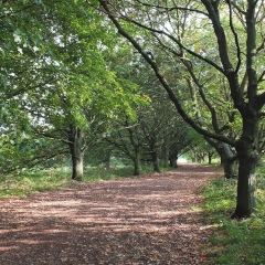
The walk includes tree lined avenues and open vistas.
For a circular walk to Yaxham, see Walk 6.
Bus walk: East Tuddenham and Mattishall
Can be shortened to 6½ miles (2¾ hours).
Walk 11 (Nov-2023) PDF, opens in new tab.
This walk starts from the town centre, using Konect service 4 from outside Barclays Bank in the Market Place.
Lots of subtle details on this walk. You may like to spend a little extra time in Mattishall.
Bus walk: North Elmham
Can be shortened to 6¼ miles (2½ hours).
Walk 12 (Nov-2023) PDF, opens in new tab.
A fairly linear walk from North Elmham (north of Dereham), so the opportunities to shorten it are limited.
Bus walk: Gressenhall
Can be shortened to 3¼, 4½ or 5¼ miles (1½, 2 or 2¼ hours).
Walk 13 (Nov-2023) PDF, opens in new tab.
This walk starts from the town centre, using Konect service 21 (outside Barclays Bank) towards Fakenham. Note that the bus route seems to go past Gressenhall before returning to The Swan.
For a circular walk to Gressenhall, see Walk 7.
Bus walk: Swanton Morley
Walk 14 (Nov-2023) PDF, opens in new tab.
This walk starts from the town centre, catching Konect service 4 (stop opposite Lloyds Bank) to Swanton Morley.
This walk follows the Wensum Way and its extension to Dereham.
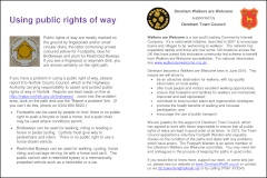
Information about us
General information about us and rights of way.